
About this project
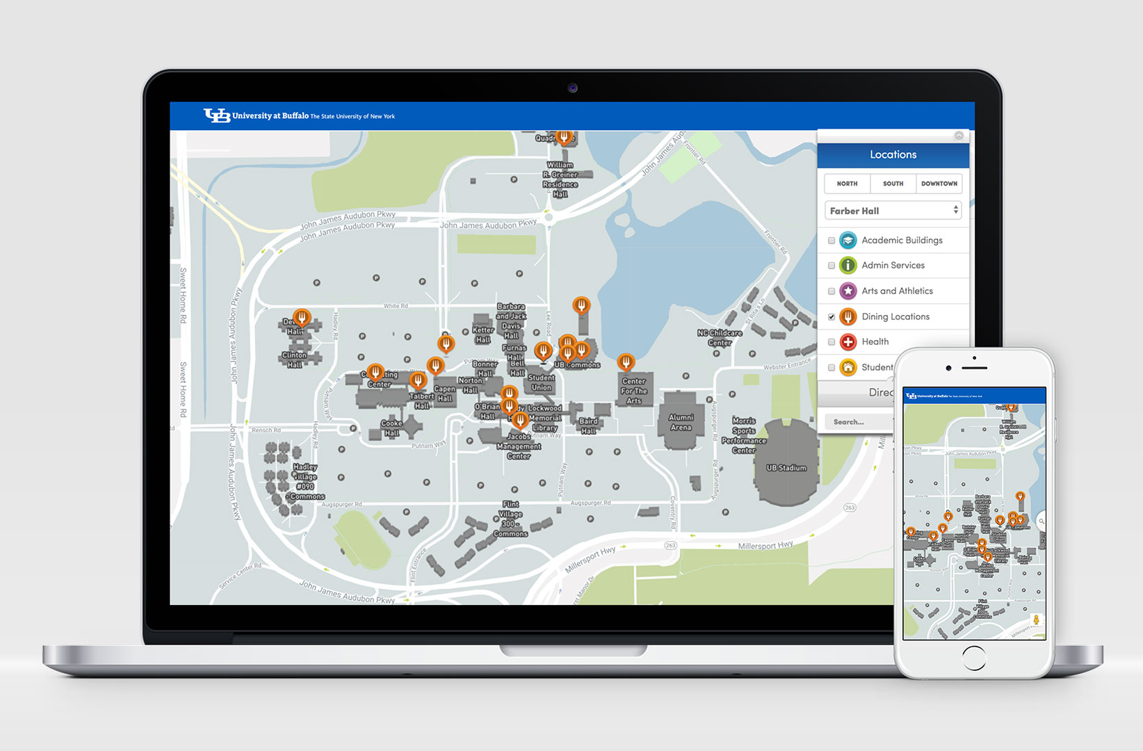
The University at Buffalo (UB) faced an interesting challenge with online wayfinding. Because the university had its own zip code and post office, Google’s data set (at the time) was incomplete and couldn’t facilitate directions or identify precise locations.
Working with the office of Campus Planning – keepers of the universities Geographic Information Systems (GIS) – I oversaw the prototyping of the initial data sets via a JSON feed that fed into the Google Maps API.
We then combined this data set with the campus Building Directory containing the names, descriptions, and contents of the structures on campus.
Once the merging of these sets was proven and deemed sustainable, we could begin the exercise of calling and displaying desired information in a user interface – culminating in the experience you now see here.
